
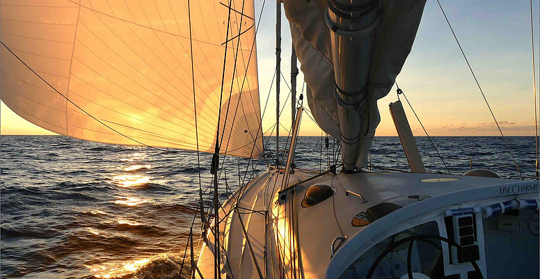
Photo credit: Yvan Griboval – http://www.oceanoscientific.org
What the expedition does :
It deploys scientific instruments in maritime zones hard to reach by research boats, automatically collects data sent to a satellite almost near real time and makes them available to the international scientific community.
What the goal is :
To take part in making a unique database for the international scientific community, to encourage the United Nations State members to limit climate change consequences, and to increase awareness among the general public thanks to its own philanthropic actions.
What we do :
Mercator Ocean is involved by delivering daily products from Mercator Ocean and Copernicus Marine Service systems whether they are maps in various formats from areas where the boat is sailing or numerical files coming in help for routing from Normandie-Monaco to Cape Horn and back. Moreover our data will be used as input data to make maps of the expedition, specifically developed by Géovoile for the general public.